THE SIGNAL IN ONE SENTENCE
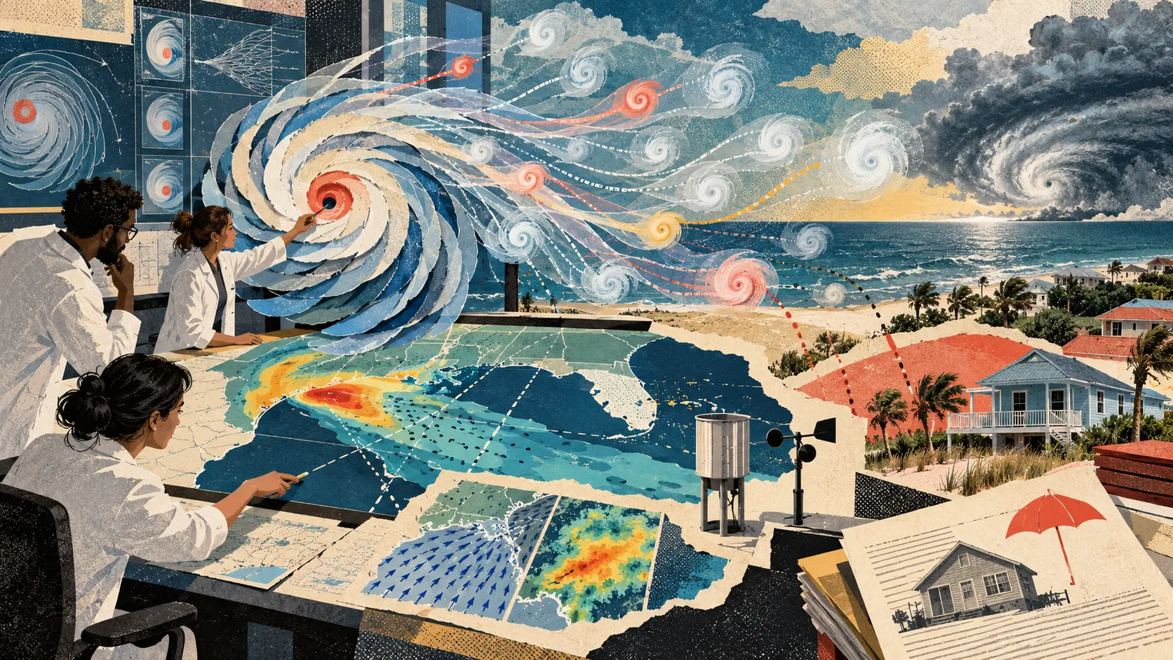
Hurricane risk has an awkward data problem. The storms that matter most are rare. That is merciful for people living near the coast and frustrating for anyone trying to estimate how often a particular neighborhood could face destructive wind, rain or landfall. Rice University researchers Avantika Gori and Guha Balakrishnan are developing an open-source tool meant to widen that thin record. The project will use Prithvi-WxC, the open weather and climate foundation model created by NASA and IBM, to generate synthetic tropical cyclones. The Rice team aims to build a dataset of about 10,000 computer-generated storms representing events that could occur, rather than storms already observed. Those last four words are the whole assignment. A synthetic hurricane is not a forecast. It is not a storm hiding in next Tuesday's weather. It is a model-generated possibility that can be placed inside a large collection of possibilities so researchers can ask statistical questions the historical record cannot answer cleanly. The plain signal is that AI can help researchers imagine more storms than history has supplied, but imagination only becomes risk evidence after physics, observations and uncertainty have had their say. Rice announced the project on October 2. The tool and the 10,000-storm dataset do not yet exist as completed public products. The announcement describes what the researchers plan to build, how they intend to refine it and where the results could be used. The starting point is Prithvi-WxC. NASA and IBM released the model as open source in September 2024. NASA says it was trained on MERRA-2, a long-running reanalysis dataset that combines observations with a weather model to describe the atmosphere through time. IBM says the base model was trained on 40 years of historical weather data. Prithvi-WxC is a foundation model, which means it is meant to be adapted for several weather and climate jobs rather than locked to one forecast. NASA lists severe-weather analysis, local forecasting, climate downscaling and improved representation of physical processes among its intended applications. Rice wants to adapt that general machinery to the life of a tropical cyclone. The planned system will simulate a storm's path and the surrounding weather from its early stage until it dissipates. The team then plans to refine the output with physics-informed models that produce more detailed wind and rainfall estimates, including spiral rainbands. That sequence matters. An AI model can learn the broad patterns connecting pressure, temperature, moisture and atmospheric motion. A specialized physical model can then ask whether the generated storm behaves like a hurricane instead of merely looking like one on a map. The project also plans to examine hazards under different climate scenarios. Rice says the synthetic set could be used to estimate landfall probabilities and the severity of wind and rainfall that locations might experience over time. For insurers and reinsurers, the intended application is portfolio-level risk. That means examining the combined exposure across many insured properties, not predicting the fate of one roof from one invented track. For a household, however, the portfolio eventually lands on the kitchen table. Hazard estimates can influence where coverage is offered, how deductibles are structured, how much insurance costs and which mitigation projects look worth funding. Rice frames the project as a way to reduce uncertainty, support more transparent pricing and narrow the insurance protection gap, the distance between disaster losses and the losses insurance actually covers. That goal is useful. It also creates a responsibility larger than model accuracy. A synthetic dataset can widen the range of storms considered without proving that every part of the range is physically plausible. If a model generates too many violent tracks toward one coast, risk can look artificially high. If it smooths away rare combinations of rainfall, surge and slow movement, risk can look comfortably low. Ten thousand is a scale, not a validation result. The Rice announcement says the researchers will test how many storms the tool can generate during different computing periods. It does not yet publish the generated dataset, a comparison with historical storms, landfall calibration, rainfall error, wind-field error, uncertainty intervals or performance against existing catastrophe models. That is reasonable for a project announcement. It is also why nobody should read the headline as 10,000 new data points already ready for an insurance filing. The first validation layer should be physical. Do synthetic storms intensify, move and dissipate within known atmospheric limits? Do their wind fields and rainbands make sense together? Do they interact with surrounding weather rather than gliding across the ocean like decorative swirls? Can scientists identify generated cases that violate conservation laws or known storm dynamics? The second layer should be historical. When researchers hide part of the observed record, can the system recreate the distribution of tracks, intensities, rainfall and landfalls it was not shown? Does it reproduce both ordinary seasons and the strange tails that cause the worst losses? A model that matches the average but misses the tail has misplaced the part people bought insurance for. The third layer should be geographic. A system can look calibrated across the Atlantic while performing poorly along a particular stretch of the Gulf Coast. Risk decisions happen at local scales, where coastlines, building patterns, drainage and social vulnerability differ. The model needs regional evidence before its output is used as if every community received equal measurement. The fourth layer should be economic and human. Portfolio risk is not the same as household resilience. A more detailed hazard estimate may help an insurer price a book of business. It can also make coverage more expensive or unavailable for people who cannot easily move, retrofit a home or absorb a larger deductible. The model cannot decide what a fair premium is. It cannot decide how much public money should support mitigation, whether a market withdrawal is acceptable or which households need assistance. Those are policy and distribution questions dressed in spreadsheets. Open source helps because it gives scientists, regulators and communities a chance to inspect the machinery. Rice says the team plans to release the tool openly so others can examine, use and build on it. Prithvi-WxC itself is already available through the IBM and NASA collection on Hugging Face, with model cards, checkpoints, code and technical papers. Open code does not automatically create an understandable risk model. The useful release should include the synthetic-storm dataset, generation settings, model version, random seeds where relevant, climate-scenario assumptions, validation suite, failed cases and the transformations that turn wind and rainfall into financial exposure. Without that chain, an outside reviewer can see the engine but not reproduce the trip. There is a second opportunity in making the evidence public. Emergency managers, engineers and community groups could use a broad synthetic catalog to test evacuation plans, drainage investments, building standards and recovery budgets against storms that have not yet appeared in the short local record. The same dataset could help researchers compare how a physical mitigation project changes risk across many possible tracks instead of one famous historical event. Those uses should remain separate from live forecasting. If a synthetic catalog contains a track that crosses Galveston, that does not mean Galveston is about to be hit. If the catalog assigns more risk to one county, that does not mean the number is ready to set an individual premium. If a generated storm resembles a past hurricane, that does not prove the model has discovered a hidden cycle. It means the system has proposed a scenario worth testing. The best version of this project will be less like a crystal ball and more like a wind tunnel. Researchers put many plausible conditions through the chamber, watch where structures fail, compare the behavior with reality and publish enough of the apparatus that other people can challenge the result. That is what 10,000 hurricanes that never happened can offer: not certainty about the next storm, but a larger, inspectable set of hard questions before the real one arrives.
01
WHAT ACTUALLY CHANGED
Rice University announced an open-source research tool that will adapt NASA and IBM's Prithvi-WxC weather and climate foundation model for probabilistic hurricane hazard assessment.
The team aims to generate a dataset of about 10,000 synthetic tropical cyclones representing possible storms rather than previously observed events.
The planned workflow will simulate storm tracks and surrounding weather from formation through dissipation, then refine wind and rainfall estimates with physics-informed models.
Researchers plan to test generation capacity over different computing periods and examine storm tracks, wind conditions and rainfall patterns.
The project is designed to evaluate hazards under different climate scenarios and support estimates of landfall, wind and rainfall risk.
Rice plans to make the tool open source so outside researchers can inspect, use and extend the framework.
02
WHY THIS MATTERS
Rare major storms leave a limited historical sample for estimating low-frequency, high-consequence hazards.
A large synthetic catalog can expose plausible combinations of track, wind and rainfall that do not appear in the short observed record.
Physics-informed refinement can test and improve generated detail instead of treating visual plausibility as atmospheric truth.
Portfolio-level analysis can help insurers examine combined exposure across many properties and possible storms.
Hazard estimates can affect premiums, deductibles, coverage availability, mitigation spending and household recovery.
A model can improve statistical coverage while still misrepresenting local geography, extreme tails or vulnerable communities.
Open tools, data and validation records make it easier for independent researchers and regulators to challenge a risk claim.
Synthetic hazard catalogs are planning instruments, not live forecasts or automatic definitions of fair insurance prices.
03
WHERE IT COULD HELP
- Stress-test coastal infrastructure and emergency plans against a broad range of physically plausible storm tracks.
- Compare wind, rainfall and landfall distributions with held-out historical storms before using synthetic cases in risk decisions.
- Test calibration separately for Gulf Coast regions instead of relying only on an Atlantic-wide score.
- Publish uncertainty intervals and failure cases alongside every risk estimate derived from the synthetic catalog.
- Evaluate drainage, building-code and mitigation projects across many possible storms rather than one remembered disaster.
- Separate the hazard model from property exposure, vulnerability and insurance-pricing assumptions so each layer can be audited.
- Give regulators and community experts access to the dataset, generation settings and validation methods.
- Track who gains or loses access to affordable coverage when improved hazard estimates enter pricing decisions.
- Label synthetic scenarios clearly so planning exercises are not mistaken for forecasts.
- Version the model, climate assumptions and dataset so later results can be reproduced and compared.
KEEP A HAND ON THE WHEEL
The Rice tool and roughly 10,000-storm dataset are planned, not completed. The October 2 announcement publishes no generated catalog, validated hazard scores, local calibration, insurance outcomes or community deployment. Prithvi-WxC is an adaptable foundation model, not a finished hurricane-risk product. A synthetic storm can widen the sample without proving physical realism, forecast skill or fair pricing. Better risk estimates may improve underwriting and mitigation while also raising costs or reducing coverage for households with limited choices. Watch for the open-source release, dataset license, model and climate-scenario versions, comparisons with held-out storms, regional and tail calibration, physics checks, uncertainty reporting, independent replication, regulator access and evidence that household consequences are measured alongside portfolio performance.
04
TERMS WORTH KEEPING
OPEN GLOSSARY CARD
Synthetic tropical cyclone
A computer-generated storm scenario designed to represent a physically plausible cyclone that could occur but was not directly observed.
OPEN GLOSSARY CARD
Hazard model
A system that estimates how often a potentially damaging event may occur and how severe its physical effects could be in different places.
OPEN GLOSSARY CARD
Physics-informed model
A model that incorporates physical knowledge, equations or constraints so its output is checked against how the real system behaves.
SOURCES AND VERIFICATION STATUS
This article was written from the materials below. Product claims and dates were checked against those sources on October 3, 2026.
PUBLICATION RECEIPT: Reporting verified immediately before publication against Rice University, NASA, IBM Research and the public IBM-NASA model repository. Planned outputs are distinguished from completed tools, validated hazard results, forecasts and insurance outcomes.
THE PUBLICATION ENGINE
WANT A SIGNAL OF YOUR OWN?
We build source-grounded publications, private briefings, and editorial systems for organizations with something useful to say.
WORK WITH US