THE SIGNAL IN ONE SENTENCE
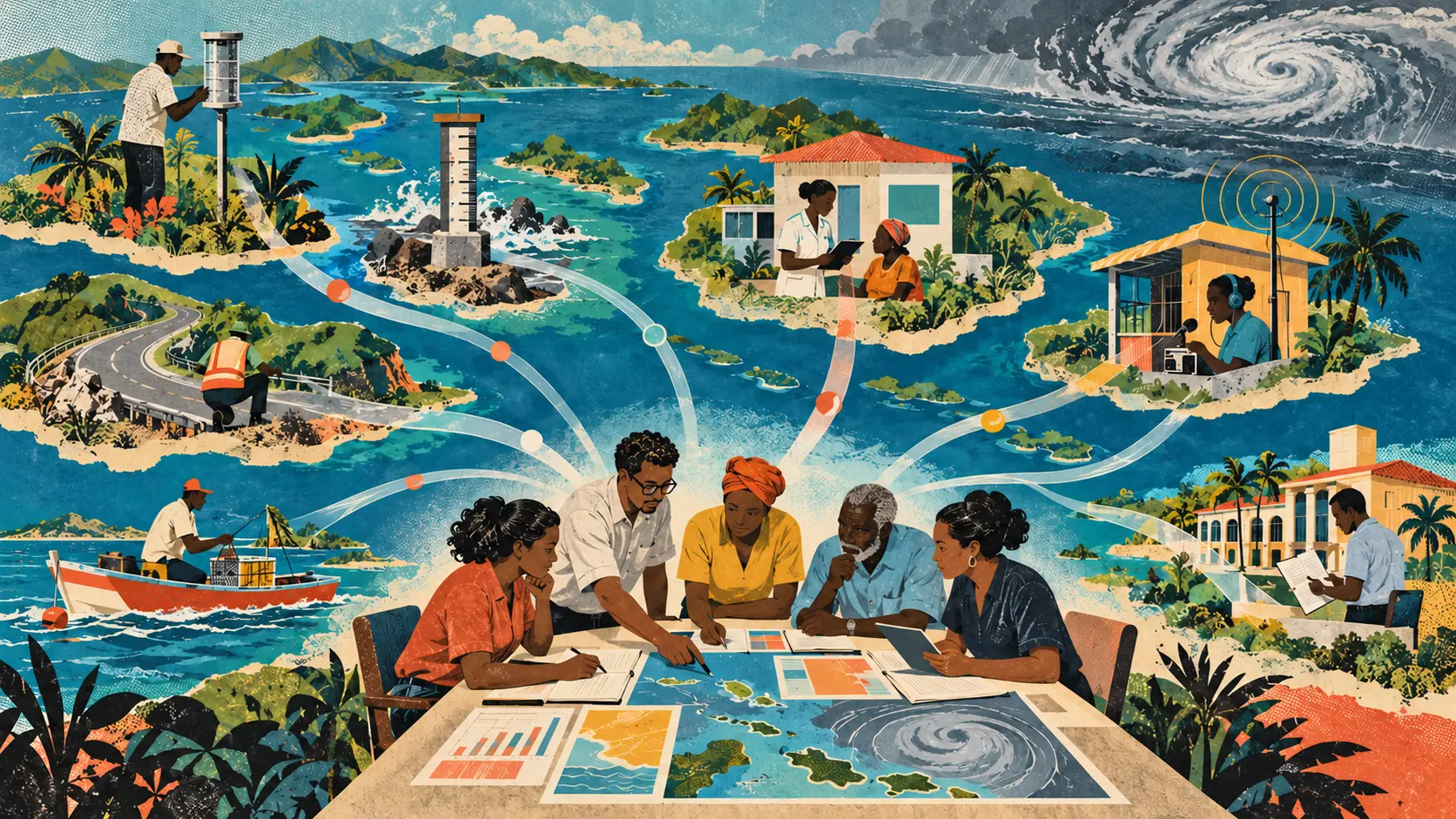
A flood does not care that the rainfall gauge, road map, clinic report and drainage record live in different databases. The people preparing for it have to care very much. The University of the West Indies has launched a three-year research and innovation phase called AI4SIDS, short for the AI-driven Climate Resilience Platform for Small Island Developing States. The work begins with Trinidad and Tobago as its research context and aims to produce approaches that may be useful across the Caribbean and other small island states. The project is not a finished forecasting service. It is not a public warning system, an emergency dispatcher or a model with published accuracy results. It is a research programme trying to solve a problem that sounds technical and is mostly institutional: useful climate evidence is scattered across datasets, agencies and systems, while the consequences arrive in the same place at the same time. The University says AI4SIDS will study climate and disaster-risk intelligence, retrieval-augmented generation, predictive analytics, geospatial information, responsible AI, data governance and human-centred decision support. It will connect technical development with government co-design, community engagement, evaluation, capacity building and policy uptake. That list is broad enough to become a respectable grant brochure. The interesting part is the decision to treat the system as socio-technical from the beginning. The plain signal is that climate AI for an island cannot be separated from the institutions, people and records that must act on it. Flooding, extreme rainfall and coastal hazards do not stay politely inside one ministry. A storm can interrupt roads, water, electricity, schools, health care and communications. One failure can produce another. The University describes these as cascading impacts. The evidence is just as distributed. A weather service may hold rainfall observations. A planning agency may maintain land-use maps. A local government may know which drains are blocked. A health service may see heat illness or mosquito-borne disease. A utility may know where outages repeatedly occur. Fishers and residents may recognize changes that formal sensors miss. An AI system can help connect those signals. It can also flatten them into a confident answer that hides where the evidence came from, which communities were missing and which agency is still responsible for the decision. AI4SIDS will have to build the connection without erasing the seams. Retrieval-augmented generation, one of the project's stated research areas, can help a language model answer with information retrieved from an authorized collection. In a climate-resilience setting, that could mean retrieving a flood plan, rainfall record, shelter list or geospatial layer before producing a response. The retrieval step does not make the answer true. The source may be outdated. The map may use a different coordinate system. A shelter list may name a building that lost power in the last storm. A drainage record may cover the capital better than a rural district. The model may quote the right document while drawing the wrong conclusion. The useful system therefore needs visible provenance. Every recommendation should identify the records used, their dates, geographic coverage, responsible institutions and known gaps. A decision-maker should be able to open the source, compare it with local observations and reject the model's interpretation without losing the underlying evidence. Geospatial data adds another layer of difficulty. Different agencies can describe the same place with different boundaries, formats and update cycles. A rainfall cell, administrative district, health-service area and electricity feeder are not naturally aligned. Joining them carelessly can make a precise-looking map that assigns risk to the wrong people. Interoperability is therefore not a boring back-office detail. It is part of climate safety. The project will need shared geographic references, metadata, update rules and documented transformations. It will need to record when a layer was resampled, when a boundary changed and when uncertainty widened because two sources did not line up. Small island states also face a scale problem that cuts both ways. National datasets may be smaller than those used to train global models. A rare extreme event may leave only a short local record. That limits statistical confidence. At the same time, a small territory can make anonymization harder because a supposedly general health or damage record may still point toward a recognizable community or household. More data is not automatically safer data. AI4SIDS names data governance as a research area, which is exactly right. The next step is to make governance concrete. Who can contribute a dataset? Who decides whether it is authorized? Who can see raw records? Which information can cross agencies? Can a community withdraw knowledge that was shared for one purpose? How long are model inputs and generated reports retained? Who corrects a bad record, and how does that correction reach every copy? Those questions should be answered before the system becomes useful enough that nobody wants to pause it. Community knowledge needs its own rules. A resident's report that a road always floods before the official gauge reaches a threshold may be operationally valuable. It is not merely free training data. The system needs a way to preserve attribution, consent, context and the limits of what the report proves. Otherwise local knowledge will be celebrated in the presentation and stripped of ownership in the database. The University says AI4SIDS is intended to enhance human and institutional decision-making. That distinction matters. An AI tool can rank reports, connect documents, flag a conflict or show how a scenario changes when one road closes. It cannot decide which community deserves the first bus, whose livelihood can be interrupted or when uncertain evidence justifies an evacuation. Those decisions carry legal authority, public accountability and moral tradeoffs. Human oversight cannot mean a person clicking approve after the model has already framed every option. The responsible official needs time, evidence, alternative views and the authority to disagree. The interface should show what the system does not know. It should make conflicting sources visible instead of averaging them into a tidy number. The project also needs to test ordinary operating conditions. A beautiful platform demonstrated on fast university internet is not a resilience system. The tool must remain useful when connectivity is poor, power is intermittent and an agency is working with limited staff during a real event. Offline exports, low-bandwidth views, printable summaries and clear fallback procedures may matter more than an elaborate conversational interface. The same applies to language and accessibility. The Caribbean is not one voice, one agency structure or one level of technical capacity. A method developed in Trinidad and Tobago cannot simply be copied across other islands and declared locally appropriate. The University is careful here. It says the initial context is Trinidad and Tobago and the goal is to generate approaches and lessons relevant to the wider Caribbean and other small island states. Relevance is a research question, not a license for automatic transfer. Each deployment would need local validation. That means testing the data, institutions, community priorities, languages, hazards, laws and resource constraints of the place using it. A system useful for flood planning in Trinidad may need different sources and decision rules for coastal erosion in another island state. AI4SIDS has earlier roots. The University says the project builds on previous UWI-led research and prototype development. It reports that the proposal received the grand prize in a 2024 AI innovation challenge at COP29 after selection from 114 proposals representing 62 countries. It also says a citizen-facing version, AI4SIDS-Gov, was selected in 2026 as one of 18 use cases for the World Bank's first Latin America and Caribbean AI Accelerator mentorship programme. Those are signs of external interest, not evidence of operational performance. Awards, mentorship and prototypes can help a team develop. They do not show forecast skill, faster emergency response or better outcomes for communities. The public evidence still needs a model card, evaluation plan, participating agencies, test datasets, baseline comparisons and a route from research to accountable public use. The funding record needs the same precision. AI4SIDS is supported through UWI's Research and Development Impact Fund, which the University says is backed by the Government of Trinidad and Tobago. UWI reports approximately TT$9 million across eleven funded projects. The release does not state AI4SIDS's individual allocation. That is worth saying because a regional ambition can sound like a regional operating system long before it has the budget, partnerships or deployment authority to become one. The three-year phase should leave behind more than a model. It should produce a data inventory showing what exists and what is missing. It should publish interoperable schemas and governance templates that other institutions can reuse. It should document failures, not only showcase demonstrations. It should train public servants and local researchers to evaluate the system without permanent dependence on an outside vendor. It should also define outcome measures that belong to resilience rather than AI. Did an agency find trusted evidence faster? Did two departments resolve a conflicting map before an event? Did a local authority update a shelter plan? Did communities understand why a recommendation changed? Did the system work during degraded connectivity? Did it reduce decision time without increasing false confidence? Those measures are slower and less glamorous than a benchmark score. They are much closer to the public purpose. AI4SIDS is early enough to get the architecture of trust right. Start with authorized data. Keep provenance attached. Let communities govern what they contribute. Show uncertainty. Test across agencies and islands. Preserve a human decision-maker who can see the evidence and owns the result. Build for the network outage, not just the conference screen. Then the platform might do something genuinely valuable. It could help an island see its scattered knowledge as one decision without pretending that one model has become the island's mind.
01
WHAT ACTUALLY CHANGED
The University of the West Indies, St. Augustine Campus launched AI4SIDS on October 1 as a multidisciplinary research and innovation initiative.
The current research-to-impact phase will run for three years with support from UWI's Research and Development Impact Fund.
Trinidad and Tobago will serve as the initial small-island research context, with the team seeking lessons relevant to the wider Caribbean and other Small Island Developing States.
The research scope includes climate and disaster-risk intelligence, retrieval-augmented generation, predictive analytics, geospatial information, responsible AI, data governance and human-centred decision support.
The project combines AI development with climate research, public health, governance, community engagement, government co-design, evaluation and capacity building.
UWI says the work builds on earlier research and prototypes, a 2024 COP29 innovation-challenge prize and a 2026 World Bank accelerator mentorship selection.
The University plans a seminar and discussion series involving researchers, practitioners, government professionals, policymakers and students as the project develops.
02
WHY THIS MATTERS
Climate and disaster evidence is often divided among agencies, formats and geographic systems even when one event affects them all.
Connecting evidence can improve decisions only if source dates, coverage, authority and uncertainty remain visible.
Small national datasets and rare extreme events can limit statistical confidence, while small populations can make privacy protection harder.
Community knowledge can fill formal data gaps but requires consent, attribution and rules against unrelated reuse.
Human-centred support should preserve accountable officials who can inspect, challenge and reject an AI recommendation.
Interoperability determines whether weather, health, infrastructure and community records can be combined without false precision.
Resilience tools must work during poor connectivity, power interruptions and heavy operational pressure.
Methods developed in Trinidad and Tobago need fresh local validation before use elsewhere in the Caribbean or other small island states.
03
WHERE IT COULD HELP
- Create an authorized catalog of climate, infrastructure, health and community datasets with owners, dates and update rules.
- Retrieve flood plans, rainfall records, shelter lists and geospatial layers while linking every claim to its source.
- Compare conflicting maps and show where boundaries, time periods or measurement methods do not align.
- Help agencies identify cascading effects across roads, electricity, clinics, schools and public services.
- Add community observations through a consent process that preserves attribution and stated limits.
- Run decision exercises in which officials can challenge recommendations and document why they disagree.
- Provide low-bandwidth, offline and printable versions for degraded operating conditions.
- Validate data, language, governance and hazard assumptions separately in every participating island state.
- Measure time to trusted evidence, corrected plans, cross-agency coordination and public understanding instead of only model scores.
- Publish reusable data schemas, governance templates, evaluation methods and documented failures.
KEEP A HAND ON THE WHEEL
AI4SIDS is a newly funded research and innovation initiative, not a deployed forecast, public-warning service or emergency-management system. UWI's October 1 release does not identify a finished model, operating agencies, deployment schedule, training data, accuracy results, security tests or individual project allocation from the broader fund. The University reports earlier prototypes, awards and mentorship, but those do not establish operational performance or community outcomes. Retrieval can surface stale or incompatible records, predictive analytics can create false confidence from short event histories and geospatial joins can look precise while misaligning places. Watch for the data inventory, authorization rules, community consent process, model and system documentation, baseline evaluations, participating public institutions, local validation outside Trinidad and Tobago, degraded-network testing and evidence that the tool improves accountable decisions rather than merely producing another dashboard.
04
TERMS WORTH KEEPING
OPEN GLOSSARY CARD
Retrieval-augmented generation
A method that retrieves material from a selected source collection and supplies it to a generative model as context for an answer.
OPEN GLOSSARY CARD
Data governance
The rules, roles and records that determine how data is collected, accessed, used, shared, retained and deleted.
OPEN GLOSSARY CARD
Interoperability
The ability of different systems, devices, and data formats to work together without custom rebuilding at every connection.
SOURCES AND VERIFICATION STATUS
This article was written from the materials below. Product claims and dates were checked against those sources on Verified against the primary UWI source on October 3, 2026.
PUBLICATION RECEIPT: Original reporting and analysis. AI4SIDS is described as a research initiative, and planned capabilities are not presented as deployed results.
THE PUBLICATION ENGINE
WANT A SIGNAL OF YOUR OWN?
We build source-grounded publications, private briefings, and editorial systems for organizations with something useful to say.
WORK WITH US